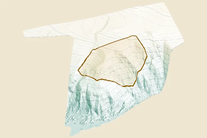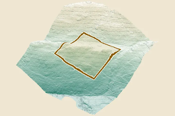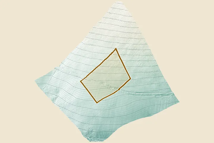
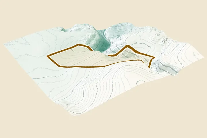
Hillside plot by a burn, Strathtay
A burn gully cuts down one side. SEPA's surface-water map follows it. The report steers the house to the gentle north-west corner, well clear of the water.
- slope at the best spot, C (runner-up A: 1 in 7)
- 1 in 26
- digging for a level platform at C (A: 40 m³)
- 12 m³
- of the plot in SEPA's high-likelihood surface-water map, along the burn
- 5.9%
0.71 ha. LiDAR for Scotland Phase 1, flown 2011–2012.
Open the full report (PDF)Open the plan sheets (PDF)