
Planning a farm track, an access road, a water or hydro pipe, a cable run or a long fence line? Draw the corridor and see the climbs, the steep crossings and the wet ground along the way.
Order for your land See a sample
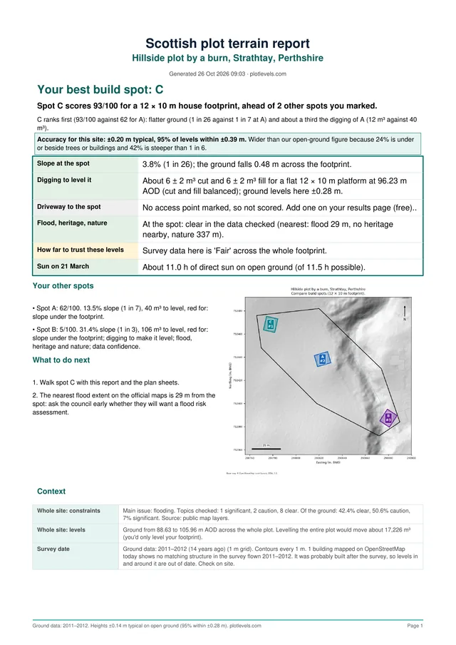
A real report page. See the full sample
On a route, the cost sits in a few places: the steep bank, the stream crossing, the boggy dip in the middle. Seeing them before a walkover means the first visit is spent on the parts that matter, and an early price is based on real ground.
Draw two or three options as separate corridors and compare them side by side.
Built by a team with 10+ years of surveying, DTM and drone mapping experience. Records are checked for your boundary before we deliver.
Draw the corridor as a long, narrow boundary on the order map, wide enough to cover the line and a margin either side. The report covers everything inside it.
A report covers up to 100 hectares. A corridor 50 metres wide can run for many kilometres within that. Split a longer route into sections.
Yes. Order each option as its own corridor and compare the slope and wet ground on each.
Yes. You get CAD files with contours and spot heights alongside the PDF.
Yes. Order for a route anywhere in Great Britain.
Most reports are ready within minutes of ordering.
Draw your boundary on the map and get your report in minutes. Order for your land, or see pricing.
Related: Rural land levels · Ways to get site levels