
Buying a paddock, a field, a woodland or a plot for a shed or a house? See the slope, the low wet ground and the best level spot before you spend money on it.
Order for your land See a sample
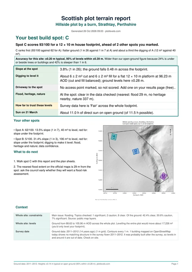
A real report page. See the full sample
Is there a level spot for a stable, a polytunnel or a timber building, or will it need digging out? Where does the field flood after rain? Can a tractor get up that bank? How far does the track climb from the road?
A levels report answers them from your desk, so you can rule a piece of land in or out before you pay for anything bigger.
Built by a team with 10+ years of surveying, DTM and drone mapping experience. Records are checked for your boundary before we deliver.
No. Draw the boundary on the map at home and the report is built for that area. It’s a good way to decide whether a visit is worth it.
Anything from a small plot up to 100 hectares in one report.
Yes. The report marks low hollows where water is likely to gather and shows flood checks for your boundary.
Yes. You get a PDF report and CAD files with contours and spot heights, so they can price a level base or a track with real numbers.
Yes. Order for rural land anywhere in Great Britain.
Look at a full sample first, or ask us about your site before ordering at hello@plotlevels.com.
Draw your boundary on the map and get your report in minutes. Order for your land, or see pricing.
Related: Site levels for plot buyers · Estate and farm sales